
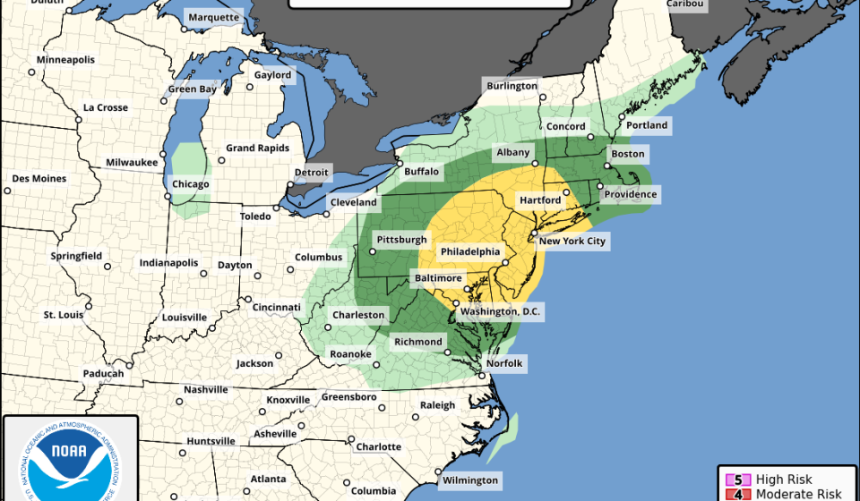

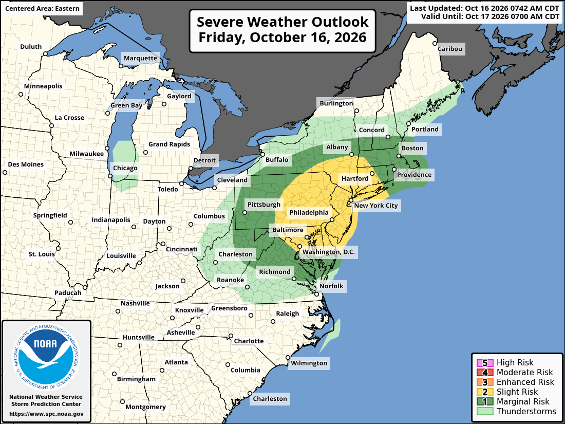
A powerful cold front will bring an abrupt end to a summery Friday with a brief but potentially intense line of gusty showers and thunderstorms. Temperatures will drop and winds will howl after the front passes, setting the stage for a windy Saturday and a frosty start to Sunday.
Showers and storms will likely arrive between 5pm and 9pm on Friday as a squall line, sweeping through our westernmost suburbs first before reaching the ring road area between 6pm and 8pm. The narrow line will move quickly – with storms lasting 30 minutes or less in most places – but could pack a punch.
The main danger will be devastating wind gusts, which could arrive suddenly. Peak gusts could reach 50 to 65 mph, strong enough to topple trees and cause isolated or scattered power outages.
After the squall line passes, a few more showers could develop overnight, mainly east of Interstate 95. But the most important thing will be the dramatic drop in temperatures.
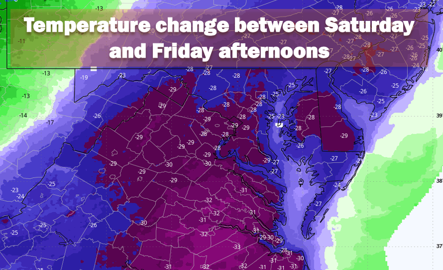
After highs near 80 Friday afternoon, temperatures will dip into the 70s and 60s as the squall line moves through. At dawn Saturday, the minimum temperature will drop to around 50 degrees. In other words, most areas will experience a temperature drop of around 30 degrees in just 12 hours.
Winds will also increase, with gusts of 20 to 30 mph beginning late Friday evening and continuing through much of Saturday. Temperatures will struggle to recover amid windy conditions, with highs only reaching the mid-50s, more than 25 degrees cooler than Friday.
Freezing possible Sunday morning west of Interstate 95
As winds ease under clear skies Saturday evening, temperatures will drop to their lowest levels of the season, bringing a risk of frost in the coldest areas.
Lows are expected to dip into the mid to upper 30s in most areas, except for the low 40s in downtown Washington and near the Potomac River and Chesapeake Bay.
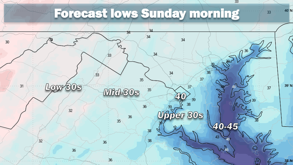
Scattered frosts are possible in colder locations west of Interstate 95, especially in sheltered valleys and other low-lying areas.
Jeff Halverson contributed to this report.
Gn usa