
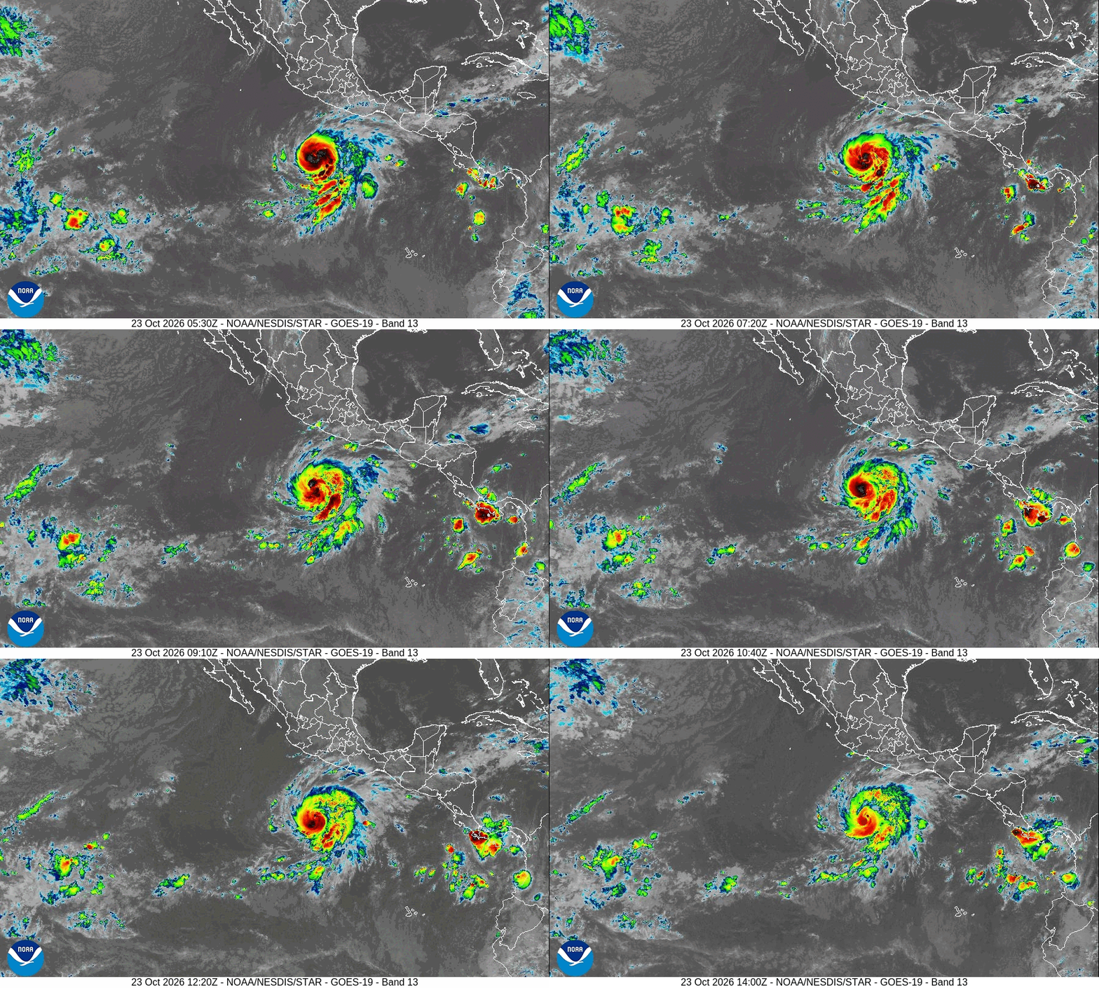

MIAMI (AP) — Vance strengthened into a hurricane Friday and the National Hurricane Center said it would quickly strengthen as it approached Mexico’s Pacific coast.
Follow the path of Hurricane Vance below.
Vance was a Category 1 hurricane with maximum sustained winds of 90 mph (150 km/h) as it moved about 455 miles (730 kilometers) south-southwest of Acapulco, and could become a major Category 3 hurricane before the end of Friday, the center said.
It was moving north-northwest at nearly 5 mph (8 km/h), and this movement is expected to continue through the weekend, approaching the Puerto Vallarta area by Monday. The hurricane’s outer bands were already channeling strong winds and rough seas toward Mexico’s Gulf of Tehuantepec, the center said.
The hurricane season has been intense in the Pacific Ocean, with storms occurring in succession near Hawaii and Mexico as El Niño conditions worsened by global warming create unusual weather conditions, such as this week’s severe flooding and tornadoes that hit the southwest United States and prolonged drought in the Central American dry corridor.
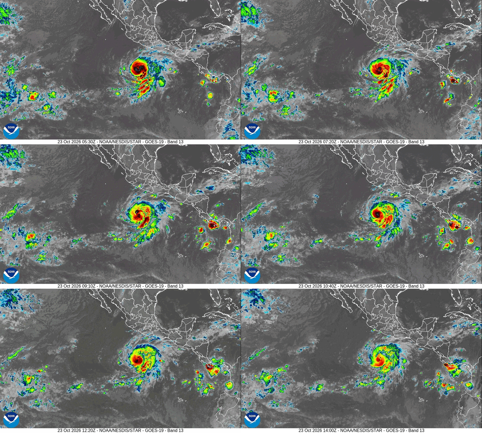
Vance would be the seventh consecutive major hurricane this year in the Pacific, after Nolo, Odalys, Polo, Rachel, Simon and Trudy. The World Meteorological Organization’s Hurricane Committee does not use less common names beginning with Q, U, X, Y and Z.
LEARN MORE: What is El Niño and how might it affect the weather this year?
A free press is the cornerstone of a healthy democracy.
Support trusted journalism and civil dialogue.
Gn headline