
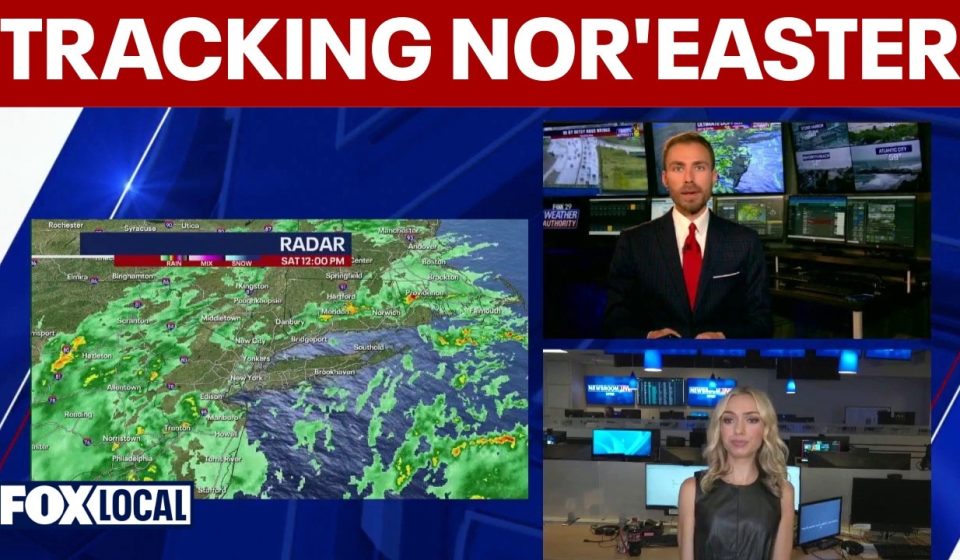

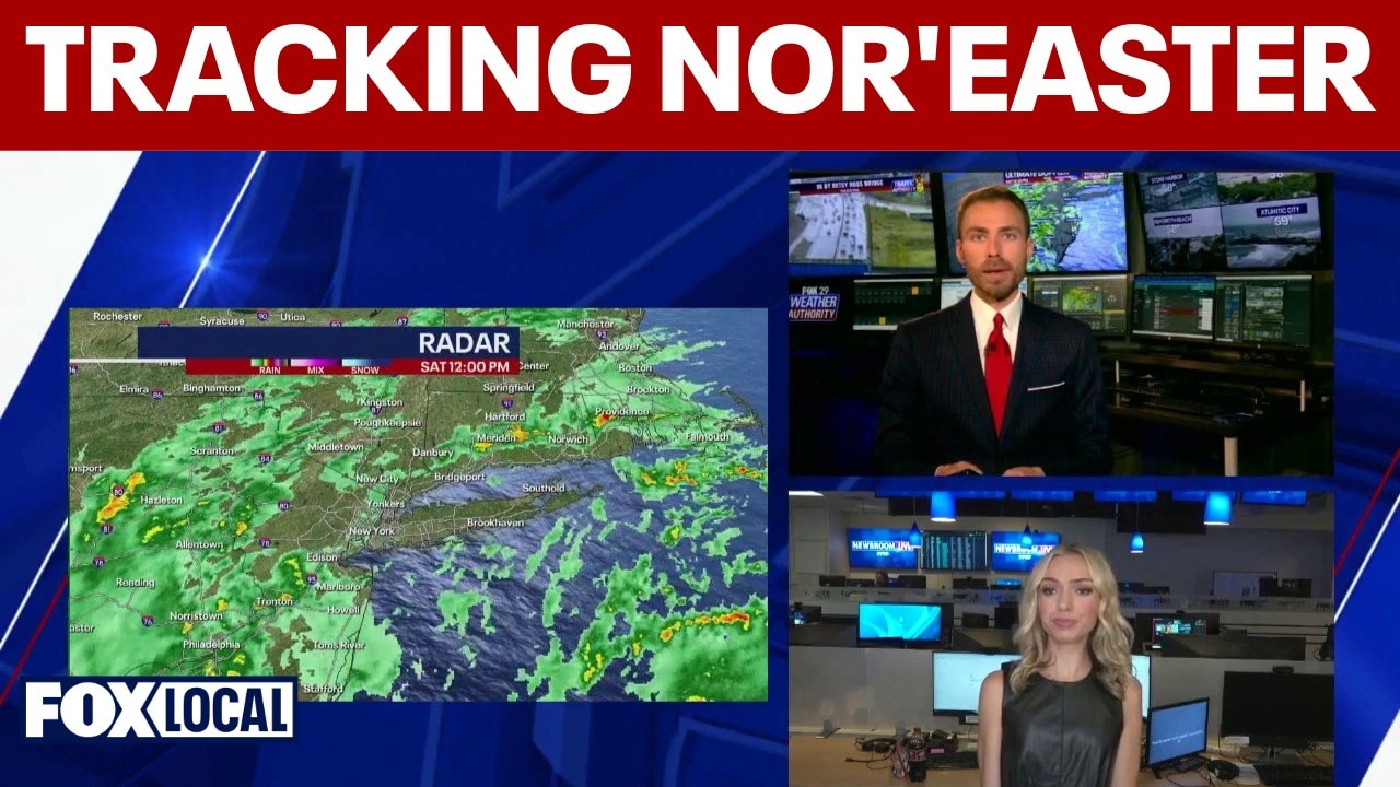
NEW YORK CITY – A powerful and intensifying nor’easter is bearing down on the Northeast this weekend, putting more than 40 million Americans in its path and triggering a state of emergency across the region, including parts of New York and New Jersey.
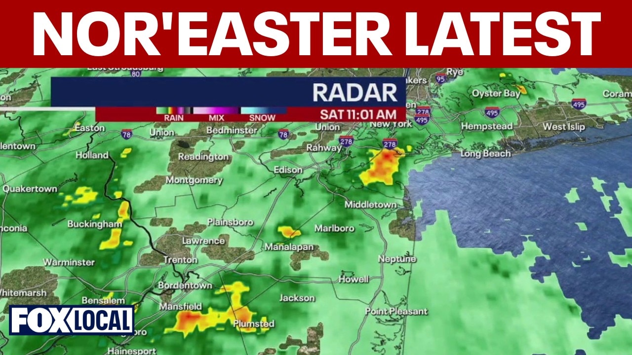
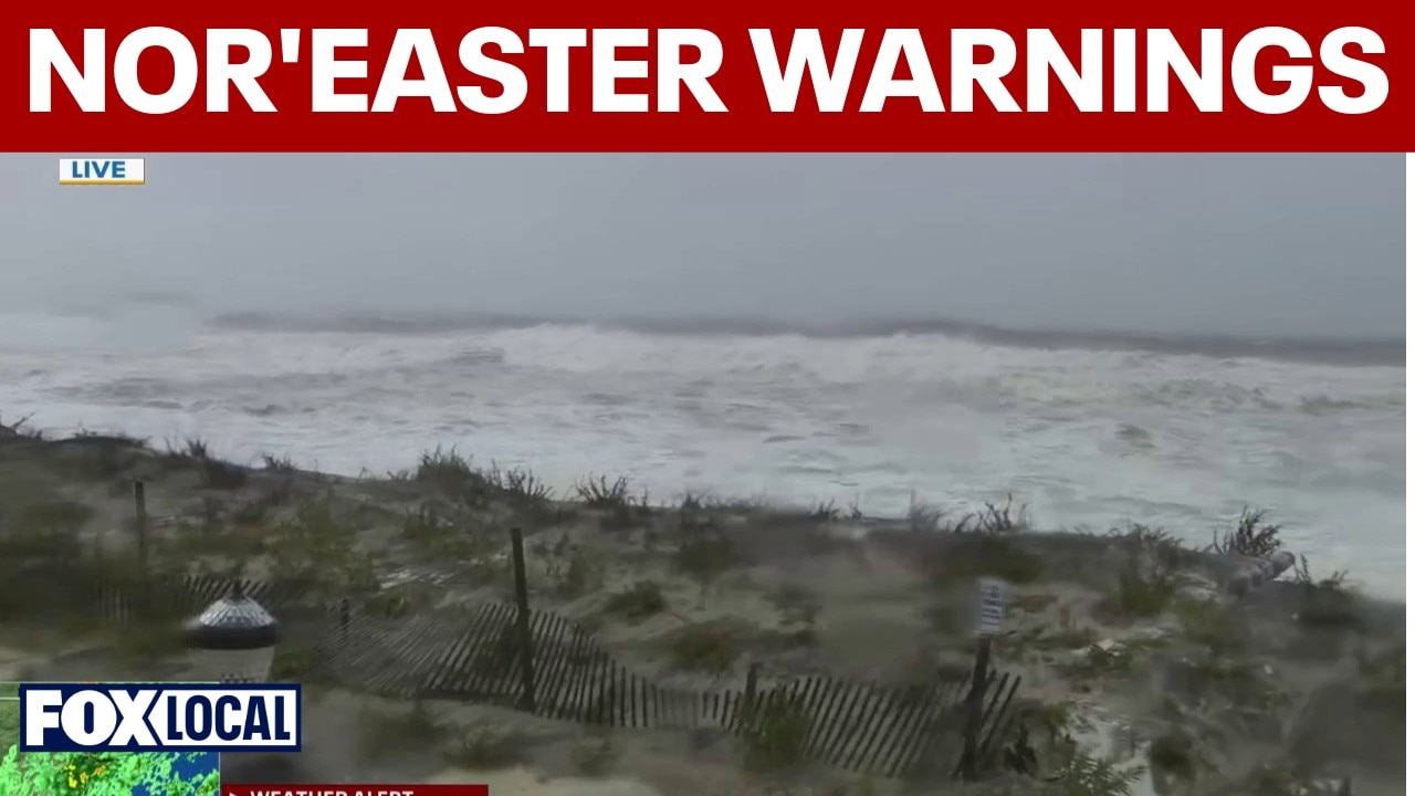
While the storm is expected to stall just off Long Island, persistent onshore winds, heavy bands of rain and unusually high tides combine to threaten widespread coastal flooding, dangerous surf and severe beach erosion through Sunday.
New York and Long Island
Local perspective:
New York City Emergency Management has issued a severe warning following coordination with the National Weather Service, as a powerful coastal storm continues to batter the tri-state area. With more than 44,000 customers already without power in the region, officials are urging residents to prepare for the worst conditions that could arise late Saturday into Sunday.
Here’s a look at the storm’s impacts so far and what residents can expect as the system intensifies.
Current impacts and damages
The storm has already dumped between a half-inch and an inch of rain across the five boroughs, but wind has been the main culprit for the damage so far.
Destructive winds: Gusts reached 45 mph across the city, peaking at 55 mph at JFK Airport. NYC Parks has already received more than 640 requests for downed or damaged trees since Friday, mostly in Queens and Brooklyn.
Flood: Jamaica Bay reached significant flood levels during this morning’s high tide, while parts of Long Island Sound experienced moderate flooding. Strong winds gusting between 40 and 50 mph push strong waves directly against south-facing ocean beaches.

What awaits us
Heavy rain and flash floods: The heaviest rain arrives in bands from 8 p.m. Saturday and will last until mid-morning Sunday. Expect localized showers of up to 1 inch per hour. While widespread areas will see up to 2 inches overnight, localized locations could receive up to 3 inches, leading to a high risk of isolated flash flooding. Showers will persist through Monday, although winds will decrease to gusts of 35 mph by Sunday afternoon.
Peak Wind Threats: From Saturday into Sunday morning, wind gusts of 45 to 55 mph will continue, with isolated gusts of up to 60 mph possible along the coast. Expect further tree damage and increasing power outages.

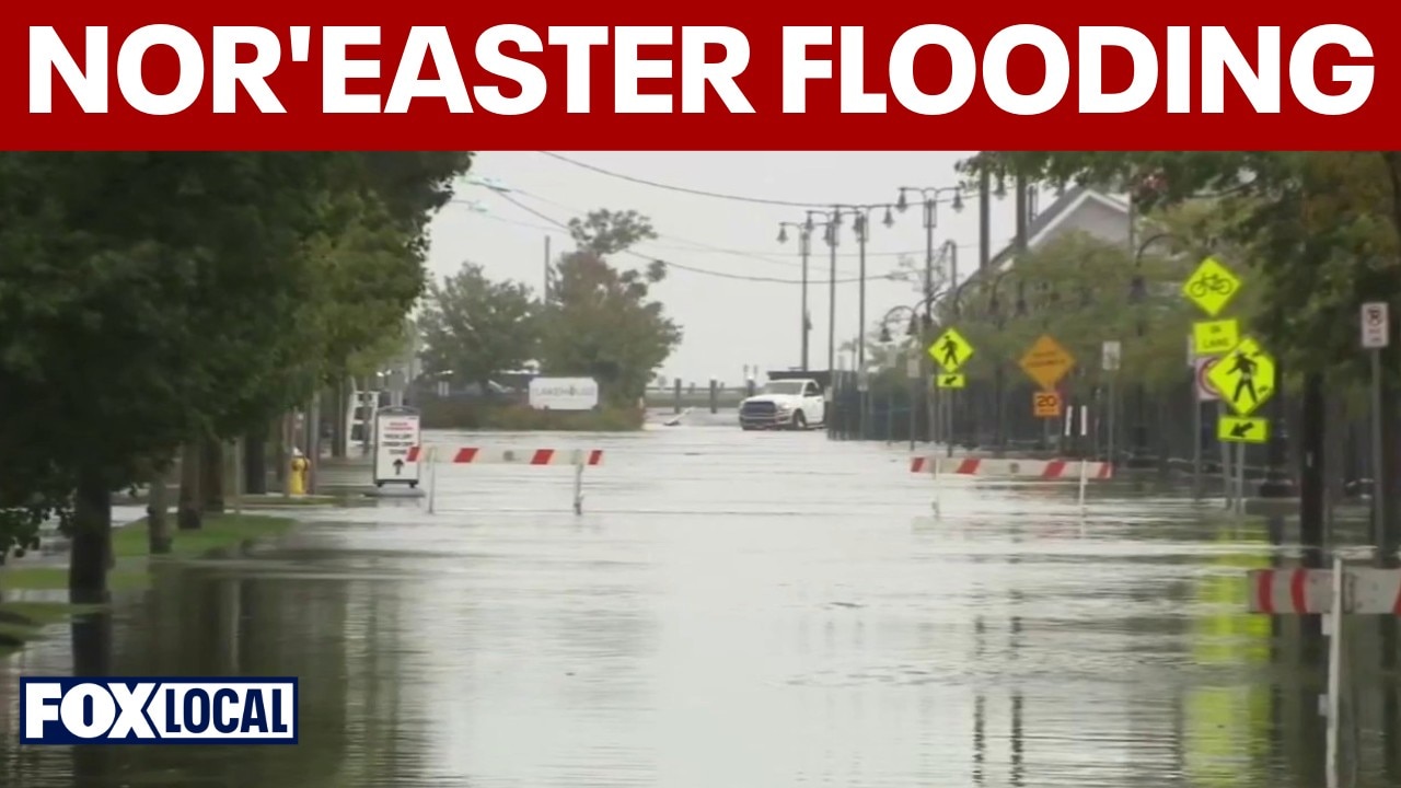
Severe coastal flooding: Moderate to locally major coastal flooding is expected through Sunday afternoon. The most severe flooding is projected along the south shore of Queens, Nassau and southwest Suffolk counties, where flooding could reach up to 3.5 feet above grade in vulnerable areas. Dune erosion and localized overtopping are very likely.
High tide monitoring times: Saturday from 8:15 p.m. to 9 p.m. on the South Shore; around midnight along Long Island Sound; Sunday morning/noon from 8:30 a.m. to 9:15 a.m. on the South Shore; around noon along the Sound. The midday tide could cause widespread moderate flooding in the Bronx coast and northern Queens (including Astoria and Flushing). Lower Manhattan and Staten Island are expected to experience minor flooding.

Power outages
Crews across the region are battling high winds to restore fallen lines. PSE&G Long Island has restored power to more than 23,000 customers since Friday morning, but tens of thousands remain in the dark across the tri-state area.
- NJ PSE&G: active outages: 167; Customers affected: 2,417
- JCP&L: Clients exited: 21,259; Customers served: 1,160,466
- Con Ed: Current outages: 60 Customers out of service: 1,323
- PSE&G Long Island: Active outages: 794; Customers affected: 16,379
- Orange Rockland: Current outages: 120; Customers out of service: 2,819
Official Safety Notices
City crews are actively clearing downed trees, responding to localized flooding and keeping rescue crews deployed along the coast. Officials urge residents to follow these safety guidelines:
Avoid travel: From tonight until Sunday morning, it will be the most dangerous time to travel on the roads. Numerous road closures are planned along the banks.
Move vehicles: Cars parked in low-lying or coastal areas face significant flooding risks and should be moved to higher ground immediately.

Basement Precautions: If you live in a basement apartment, be prepared to move to a higher floor if water begins to accumulate.
Stay out of water: The city’s beaches are completely closed to swimming. Lifeguards are not on duty and potentially life-threatening rip currents are currently active.
Avoid the dangers: Never walk or drive through floodwaters and stay away from downed power lines.
Regional forecasts
Local perspective:
Here’s a look at what residents can expect across the rest of the region as the storm reaches its peak this weekend.
Coasts of New Jersey and Delaware
Strong wave and beach erosion: Offshore waves of 15 to 18 feet will continue to hit beaches, causing severe beach erosion and dangerous boating conditions.
Widespread tidal flooding: Expect minor to major coastal flooding along the Jersey Shore, Delaware beaches, and throughout Delaware Bay. The highest tides are expected Saturday morning and Saturday evening, with flooding threats persisting through Sunday, particularly north of Atlantic City and along vulnerable tidal areas of the Delaware River.
Active Warnings and Advisories: Coastal Flood Warnings remain active along coastal areas through Sunday, with Coastal Flood Advisories covering inland areas of bays and tidal rivers from southern New Jersey to the Delaware coast.
Impacts on goods and travel: Heavy water flooding on low-lying coastal and bayside roads will render some roads impassable and pose a threat of structural damage to vulnerable beachfront and bayside properties.
Washington, DC and the Chesapeake Bay
Rather dry: As the center of the low pressure system moves well offshore, the DC metro area will avoid heavy bands of rain, experiencing mostly dry conditions with only occasional light showers.
Windy conditions: Persistent onshore winds will keep the weather cool and breezy through the weekend.
Rising tidal waters: Minor to moderate tidal flooding will affect vulnerable coastal areas along the Potomac River and Chesapeake Bay before water levels begin to fall early next week.
The source : Information in this article comes from FOX Weather and the National Weather Service.
Gn usa