
Southern California is bracing for back-to-back storms this week, including the first significant atmospheric river storm of the season, with forecasters warning of the risk of flooding, rockslides and debris flows near recent burn scars.
The second, stronger storm, forecast for Wednesday night through Thursday, could bring the heaviest rainfall of the season so far to much of Southern California, including parts of Los Angeles County, according to Daniel Swain, a UC Agriculture and Natural Resources climatologist.
The notable part won’t be the total accumulation, but how quickly the rain could fall — a narrow but intense band of heavy precipitation, possibly accompanied by thunderstorms, could bring down most of the total in just a few hours, he told the Times in an email. Indeed, in addition to a moderately strong cold front, there is more humidity and heat than usual along the Southern California coast due to the record-breaking marine heat wave, he wrote.
“This extra ‘juice’ may be somewhat of a signature of the storms during our very strong winter El Niño this year, to an even greater extent than what we have seen during very strong historical (El Niño) events,” Swain wrote.
Communities across the state have been preparing for winter El Niño for some time now, and this week was no exception.
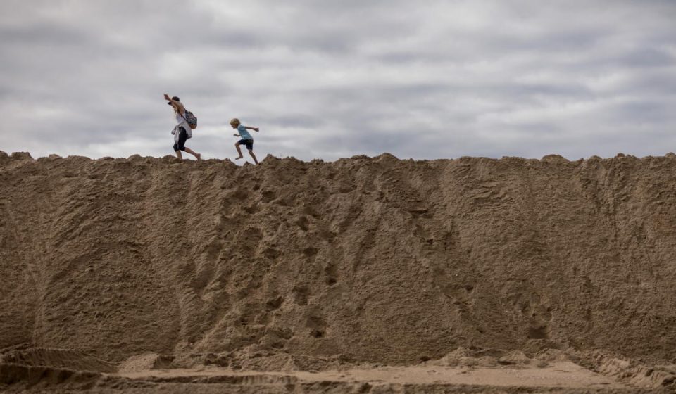
Cities like Huntington Beach, Long Beach and Seal Beach were handing out free sandbags and encouraging residents to protect their properties from possible flooding. In Long Beach, crews were inspecting and testing water pumps and drainage infrastructure, clearing debris from storm drains, prepositioning barricades and equipment such as mobile pumps, and constructing and maintaining sand berms, spokesperson Laath Martin wrote in an email.
Forecasters warned that a series of swells would continue to create significant waves and dangerous conditions along the coast throughout the week, particularly along west to northwest oriented coastlines. A possible storm event next week “will coincide with king tides and bear sightings, as it could have more impact,” state climatologist Michael Anderson said in a statement.
The storm expected to inundate the region later this week could be the first of the season to bring widespread moderate to heavy rain and snow to the high elevation mountains, with precipitation totals of 1 to 3 inches in most areas and 2 to 5 inches for south- and southwest-facing mountain slopes and foothills, according to the National Weather Service.
It is preceded by a weaker storm that brought scattered showers to the region starting Monday, with rainfall totals expected to be less than half an inch, although some areas could see brief, heavier showers.
The weather service predicts a 20 to 30 percent chance of snow showers with little to no accumulation in the high mountains near Interstate 5 and eastern Los Angeles County. Forecasters also predicted gusty winds and a slight risk of thunderstorms over southern and eastern Los Angeles County, including coastal areas, due to atmospheric instability combined with ocean waters warmed by a marine heat wave, El Niño and climate change.
It comes amid a season of wild weather driven in part by the historically strong El Niño, with record ocean temperatures that helped fuel an unprecedented heat wave in October, record high tides and a series of tropical storms and hurricanes that dumped rain and kicked up waves.
Coastal areas were hit by strong waves over the weekend, leading to the closure of beaches and piers and an evacuation warning for part of the coast near Capitola.
Although some uncertainty remained Monday, maximum rain rates during the second storm could reach between 0.5 and 1 inch per hour, with brief, heavy downpours continuing Thursday, the weather service said.
The weather service estimates there is at least a 15% chance – 5% in remote interior areas – of excessive rainfall that could lead to flooding and increase the risk of debris flows near recent burn scars. According to forecasts, the threat is expected to be greatest from Wednesday afternoon for the central coast and Wednesday evening for areas to the south. Rain could also cause landslides, particularly along canyon roads, according to forecasts.
Maximum wind gusts are expected to reach 30 to 80 mph – 40 to 60 mph across the interior mountains and foothills – which, combined with rain-loosened soils, could increase the risk of downed trees and power outages, according to the forecast.
“It’s still a dynamic situation,” said Ryan Kittell, a meteorologist with the National Weather Service in Oxnard. “If you live near recent burn scars, listen to local authorities. With this type of rain, there is certainly concern.”
Snow levels are expected to fall between 6,000 and 7,500 feet, with heavy accumulations possible above 8,000 feet and light accumulations as low as 6,500 feet, according to the weather service.
Big Bear is expected to see 1 to 3 inches of snow in populated areas Thursday, while Wrightwood could also get a trace, forecasters said.
Farther north, the Sierra Nevada is expected to receive 1 to 2 feet of snow above 5,000 feet, with a 50% chance of more than 6 feet at the highest elevations, according to the weather service. A winter storm watch was in place there from Wednesday through Friday morning.
Temperatures are expected to be below normal Monday and become cooler Tuesday, with inland areas seeing overnight lows in the 30s and coastal areas in the 40s and 50s. This could create frost in areas such as the Antelope Valley, Cuyama Valley and interior San Luis Obispo County, according to the weather service. Highs on Wednesday are forecast to be in the 50s and 60s.
Conditions are expected to ease by Friday, but light showers could return Sunday, mainly on the Central Coast, according to the weather service.
Along the coast, an ocean swell is expected to peak Monday, and another is expected late Wednesday night into Thursday. This could flood low-lying beach walkways and car parks, particularly in the early afternoon near high tide. Large waves were also expected to continue creating dangerous rip currents and sneaker waves.
The Central Coast was most at risk, with waves of 10 to 15 feet and local waves of up to 20 feet Monday, according to the weather service. A coastal flood warning was in effect there until Monday evening.
Dangerous breaking waves continued to threaten the port entrances of Ventura and Morro Bay, with mariners urged to stay away.
High surf advisories were also in effect for west-facing beaches in Los Angeles and Ventura counties, as well as coastal areas in Orange and San Diego counties, with large surf expected at least through Tuesday and possibly Thursday, according to the weather service.
“If you go down near the beach,” Kittell said, “stay away from the waves and admire them from afar.”
Gn headline