
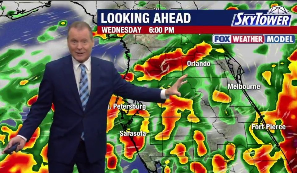

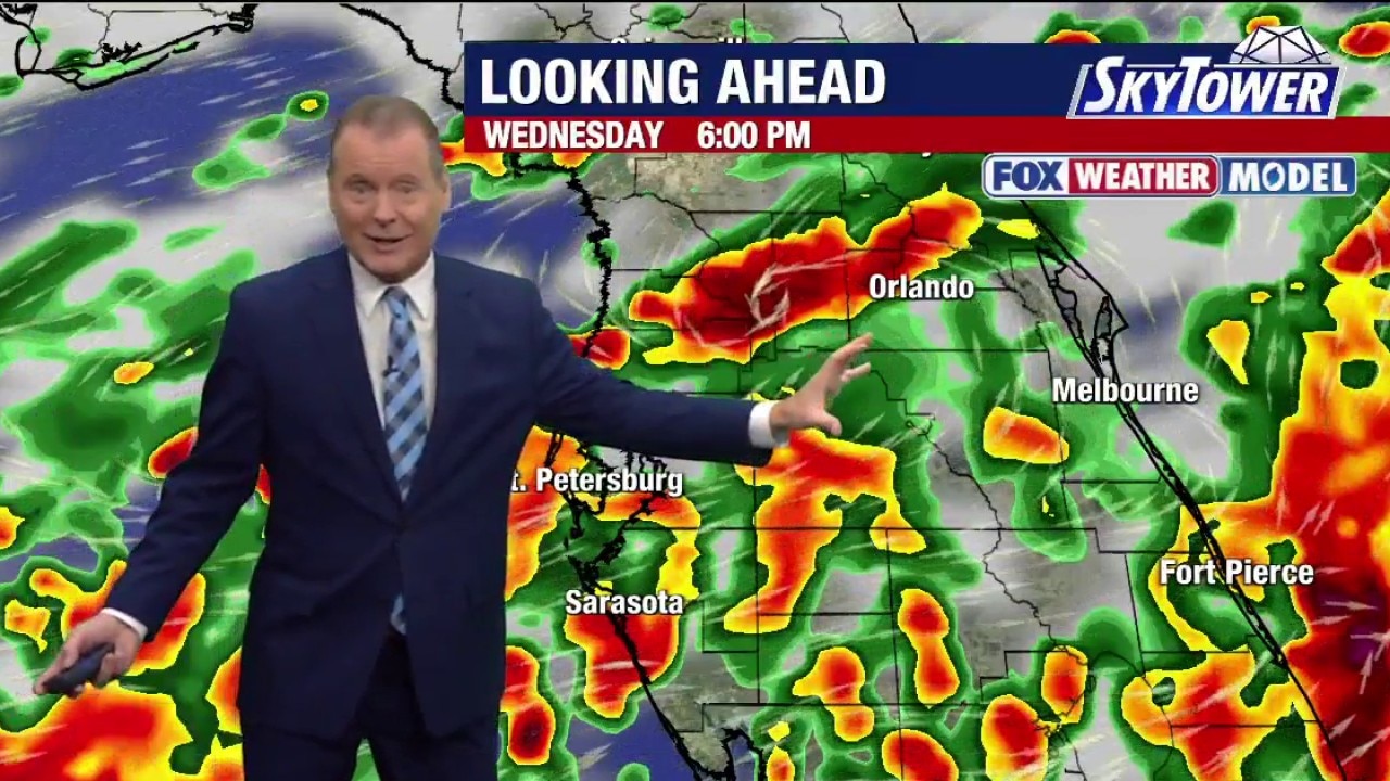
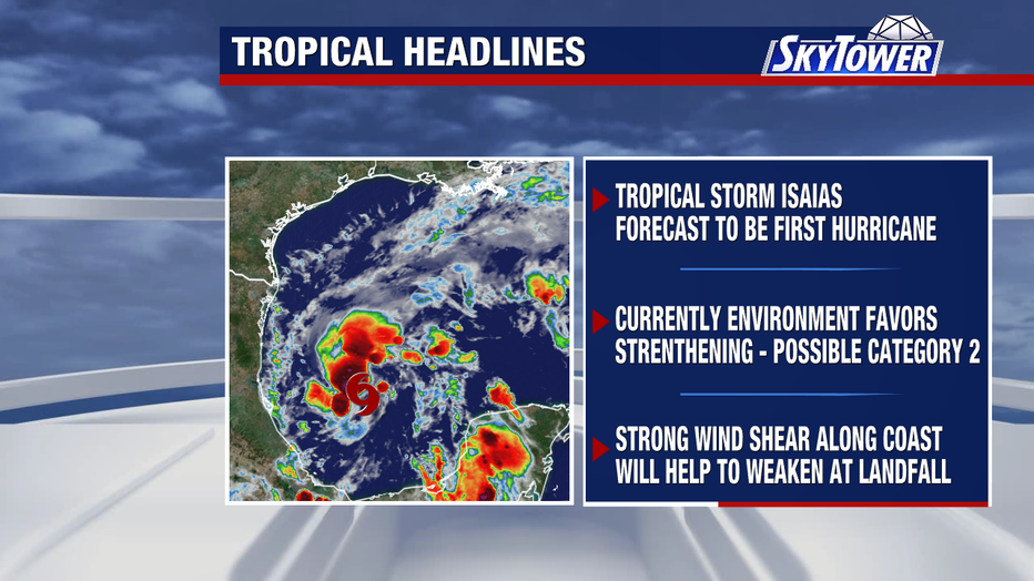
TAMPA, Florida. – Tropical Storm Isaias formed Wednesday morning in the southwest Gulf of Mexico and is expected to strengthen into a hurricane as it moves toward the northern Gulf Coast.
A tropical storm forms in the Gulf
What we know:
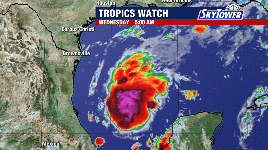
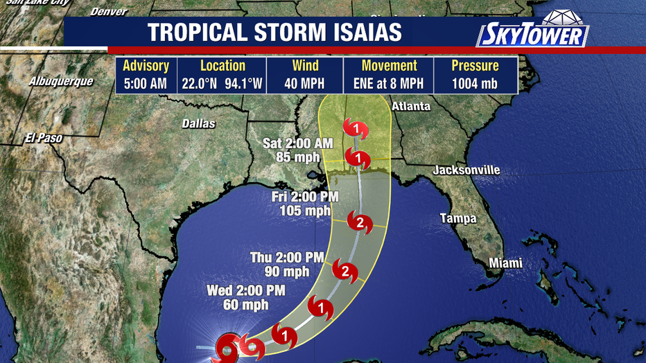
Tropical Storm Isaias developed Wednesday morning about 285 miles west of Progreso, Mexico, with sustained winds of 40 mph.
The storm is moving east to northeast at a speed of eight miles per hour.
What we don’t know:
Forecasters always follow the exact trajectory and final intensity before landfall. It remains unclear how quickly wind shear will weaken the storm within 24 hours of landfall.
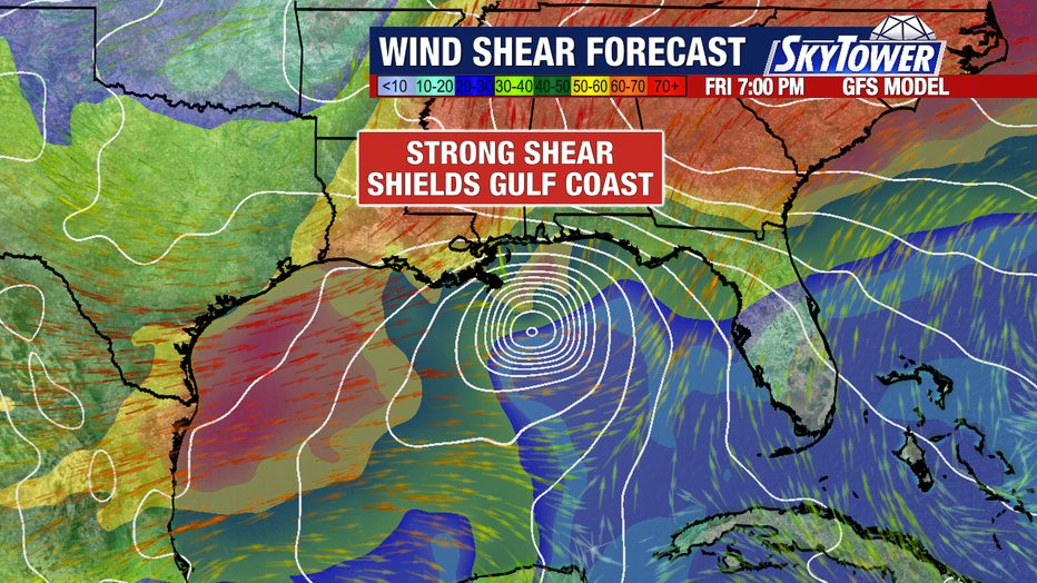
Tracking Potential Impact on the Gulf Coast
Chronology:
The storm is expected to track northward over the next few days, driven by a trough to the west and high pressure to the east.
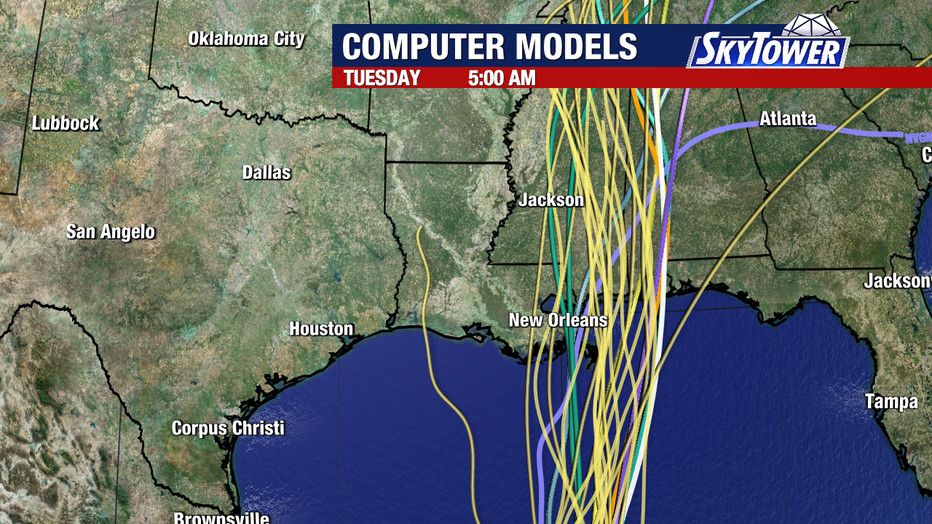
It is expected to approach land late Friday evening or early Saturday morning.
Local perspective:
FOX 13 meteorologist Dave Osterberg expects the system to become the first hurricane of the Atlantic season, with the potential to reach Category 2 or Category 3 strength.
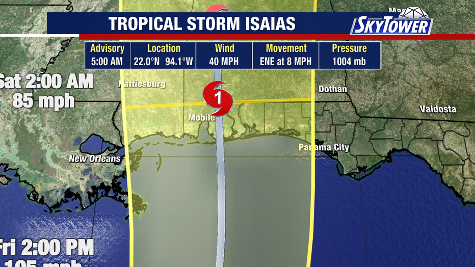
Osterberg forecasts landfall just west of the Florida Panhandle, near Mobile Bay, Alabama, while noting that neither New Orleans nor Panama City are currently in the forecast cone.
Prepare for coastal hazards
Why you should care:
The eastern side of the storm is expected to bring storm surge and a risk of tornadoes to coastal areas when it makes landfall.
Coastal residents, from the Florida Panhandle to the Mississippi-Louisiana border, are advised to implement their hurricane preparedness plans.
The source : Information in this story was gathered from FOX 13 Meteorologist Dave Osterberg, who provided forecast updates and weather analysis on Tropical Storm Isaias.
Gn usa